
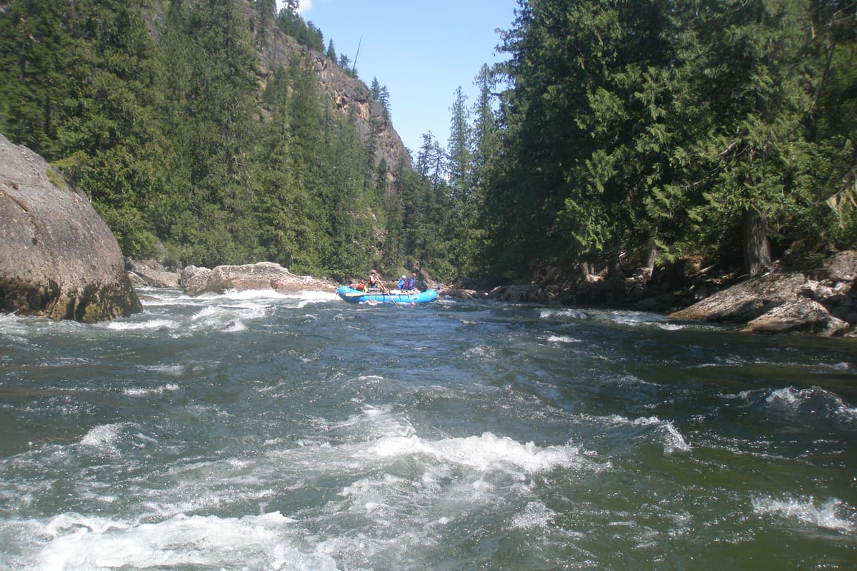
Middle Fork of the Salmon
A hundred miles of wilderness, hot springs, cold water, and no roads in or out once you launch.
5-6 days/100 mi/May-Sep
Loading flow…USGS 13309220
Read more →
These are the permitted, lottery-controlled, and limited-entry rivers we monitor for cancellations. Every one of them is worth the trip.
A hundred miles of wilderness, hot springs, cold water, and no roads in or out once you launch.
One launch per day during permit season. Expert-level continuous whitewater and some of the lowest permit odds in the country.
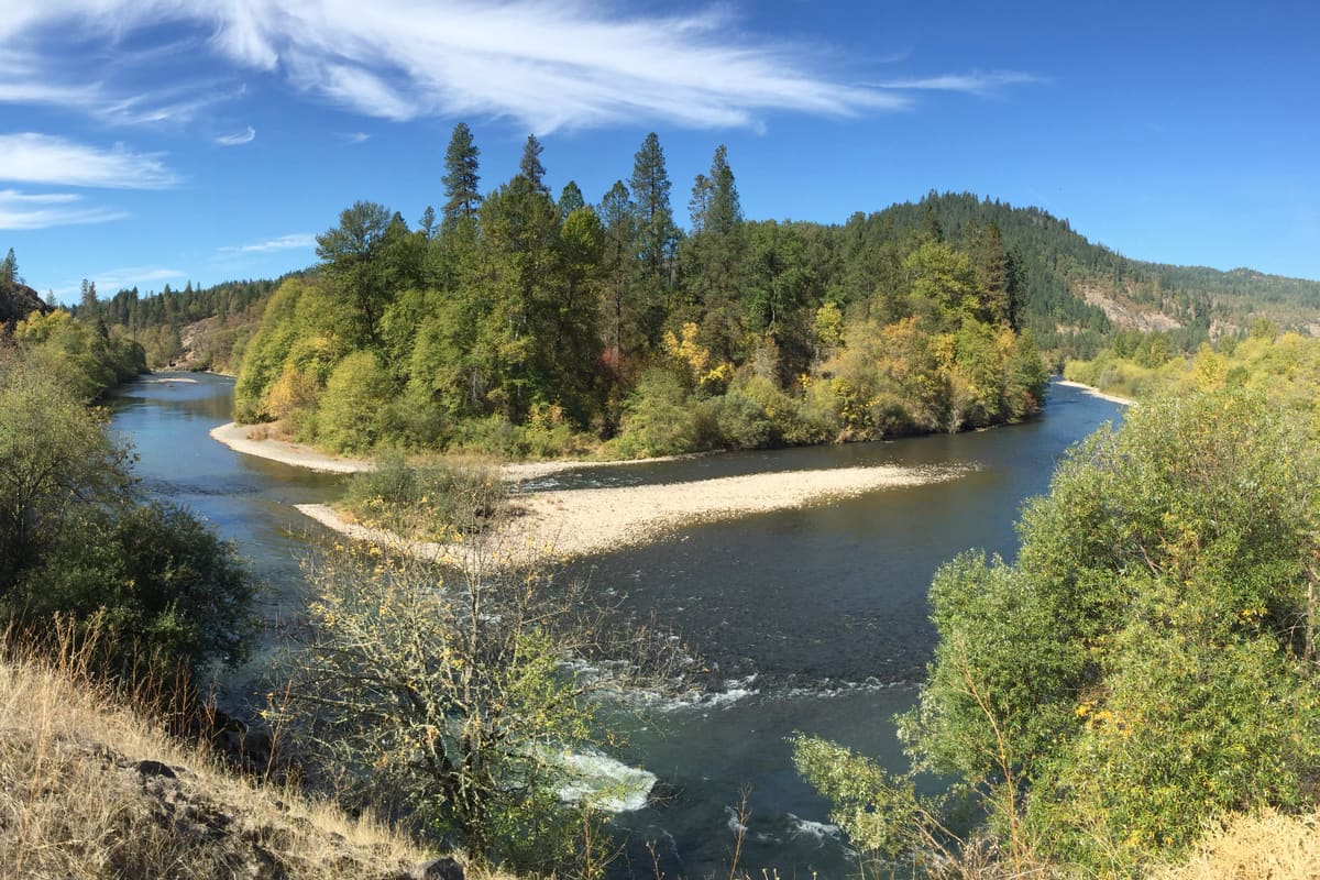
The River of No Return - big water, big beaches, warmer than the Middle Fork, and easier to draw.
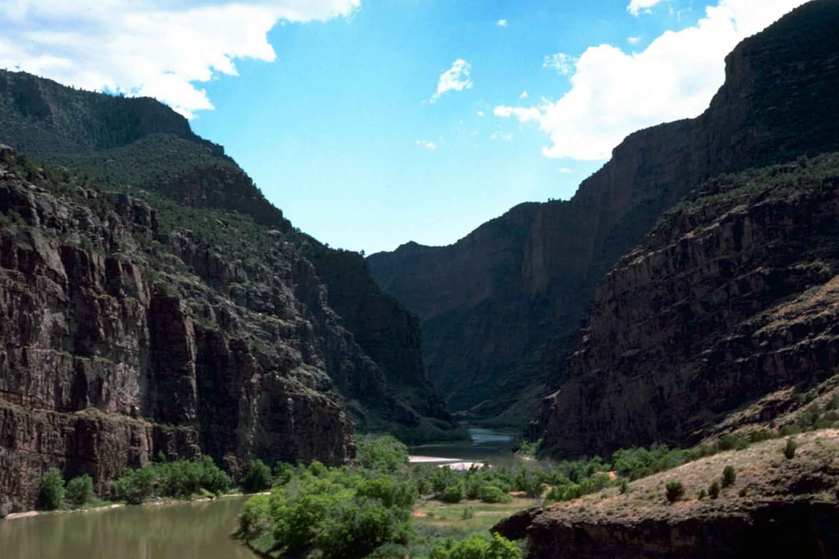
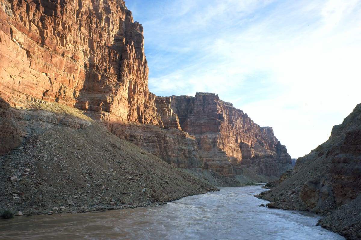
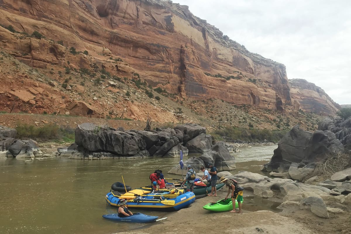
The last undammed major tributary in the Colorado River system. Runs only on spring snowmelt - the window is weeks, not months.
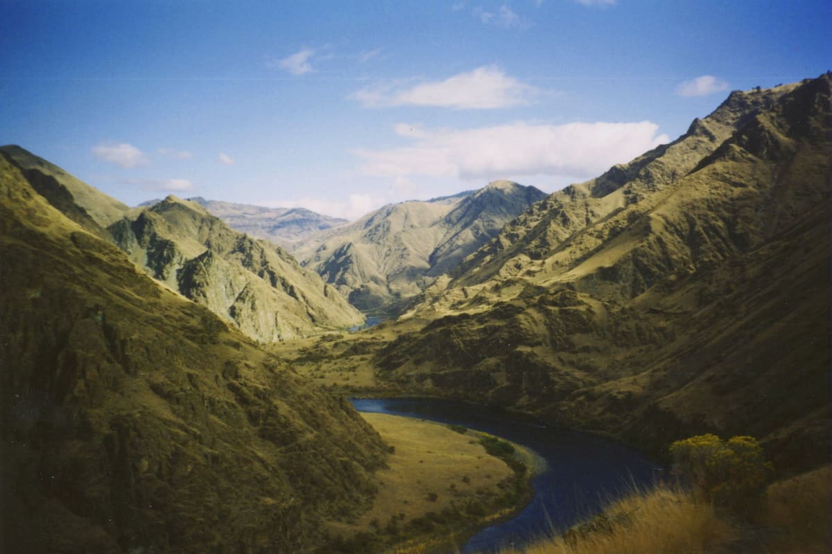
The deepest gorge in North America - 7,900 feet from He Devil Peak down to the Snake - and dam-controlled flows that run all season.
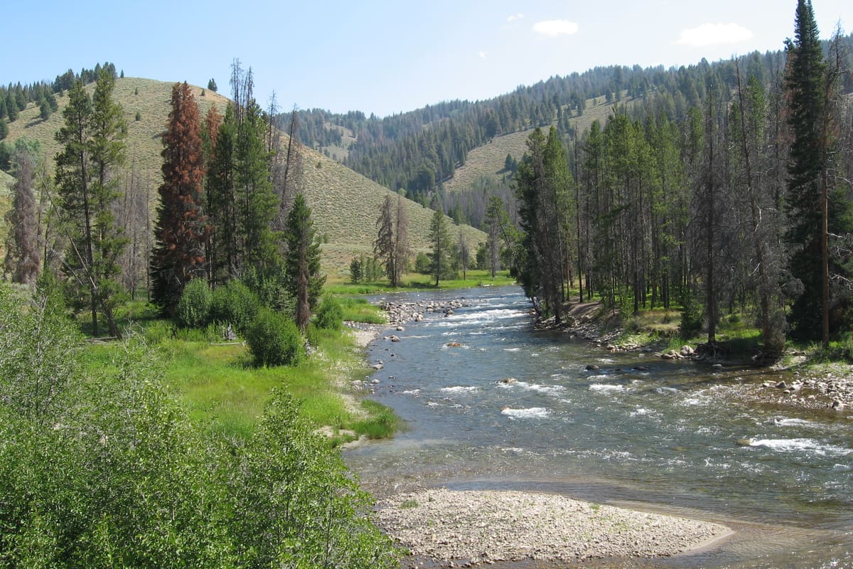
Old-growth Douglas fir, wild salmon runs, and a 34-mile run with lodges between every camp if you want a bed and a hot meal.
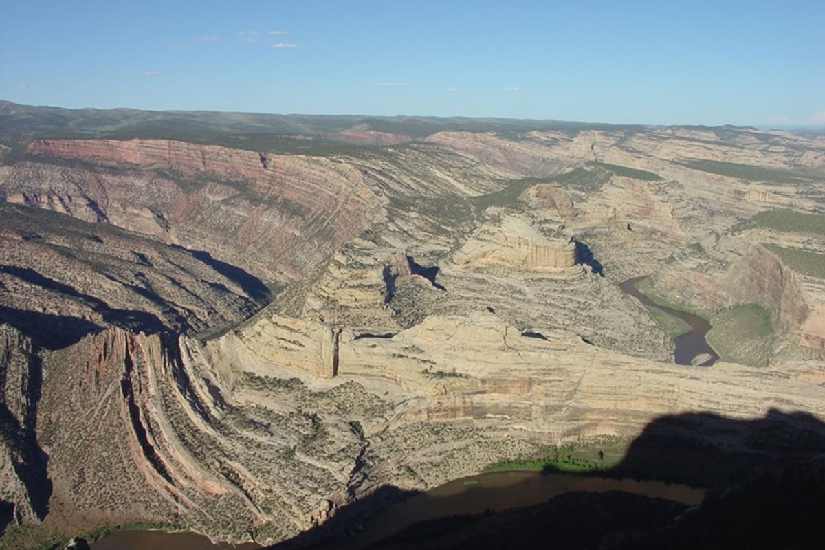
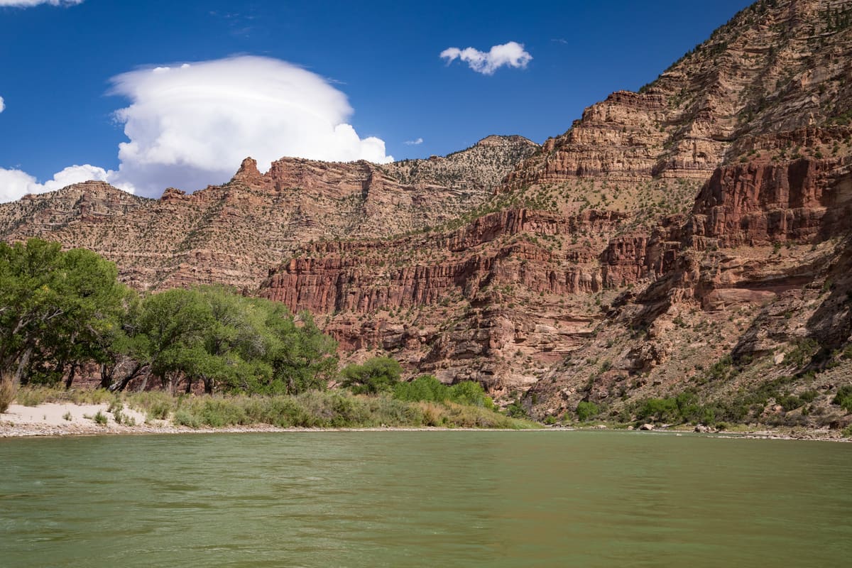
The Green River through Dinosaur National Monument. Red Weber Sandstone walls, one Class IV at Hell's Half Mile, and better permit odds than the Yampa next door.
Big sandy beaches, 60+ named Class II-III rapids, and the most Fremont rock art per river mile in the West.
Arizona desert whitewater that only runs on White Mountain snowmelt. Saguaro on the beaches, rattlesnakes at night, and a season measured in weeks.
Two days of flatwater through Canyonlands, then 14 miles of big-water Class V at the Confluence. Ends in what's left of Lake Powell.
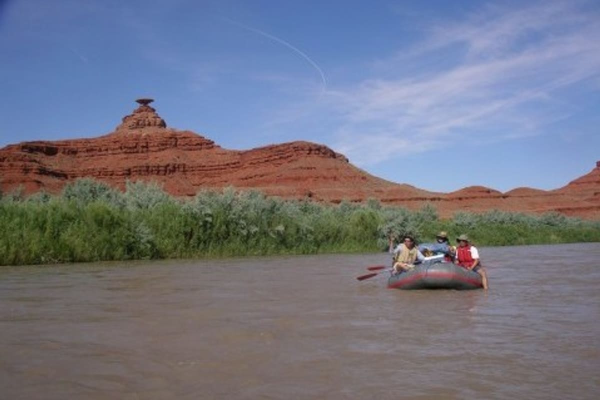
Desert river through Navajo country - goosenecks, cliff dwellings, and petroglyphs, with good permit odds and year-round access.
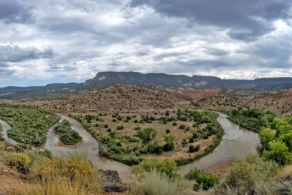
Short red-rock canyon trip in northern New Mexico. Scheduled Army Corps releases set the window - check the schedule before you apply.
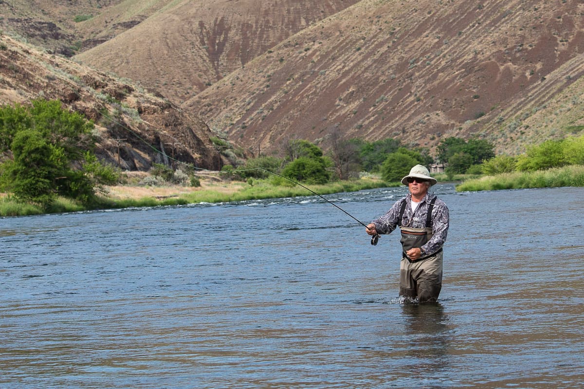
Trout and steelhead water with real Class III rapids mixed in. Year-round flows below Pelton Dam, and the most-floated stretch of whitewater in Oregon.

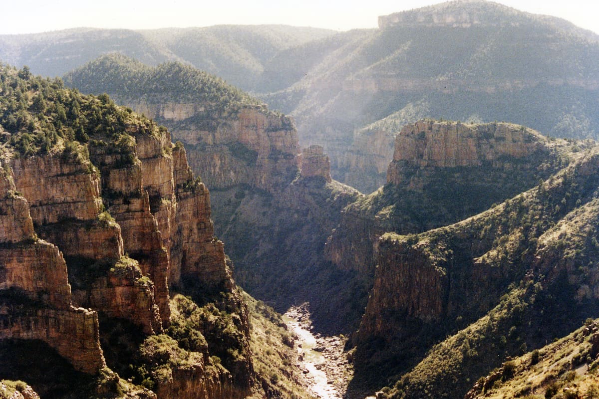
Short overnight or long day-trip. The oldest exposed rock in the Colorado system (1.7 billion years) and 11 miles of concentrated Class III-IV.
25 miles of red-rock canyon on the Colorado, no real rapids, and reservations you can often still get a week out.