Desolation/Gray Canyon
Big sandy beaches, 60+ named Class II-III rapids, and the most Fremont rock art per river mile in the West.
The run
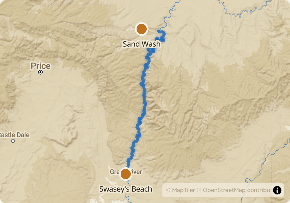
84 miles of Class II-III on the Green River through Desolation and Gray Canyons. 60+ named rapids, most of them wave trains that wash out at high water and firm up at moderate flow. Biggest features: Steer Ridge, Wire Fence, Coal Creek, Three Fords. Between the rapids: 2,000-foot red and gray canyon walls, massive sand beaches, and more side hikes to petroglyphs and cowboy ruins than you can do in a week. The Tavaputs Plateau above holds one of the largest Fremont Culture archaeology zones in Utah.
The permit
Lottery runs December 1 through January 31 for launches between April 1 and October 31. Odds are reasonable - roughly 20-40% for core summer weeks. The river is popular but has high daily launch capacity. Desolation is the most common backup river for parties who don't draw Middle Fork or Yampa permits, and it delivers its own experience rather than being a consolation prize.
Timing
Flaming Gorge releases keep this section at 2,500-6,000 CFS most of the year. Spring runoff can push flows to 10,000-15,000 CFS in May-June - rapids get bigger but no more technical. Summer (July-August) is the most popular window: 90F+ days, warm water, hot sand. September cools off and drops toward 2,500 CFS. Sand flies and biting gnats peak in late June; bring DEET and long sleeves.
Logistics
Put-in is Sand Wash, reached from Myton or Duchesne, UT via 50-100 miles of rough gravel depending on route. Take-out is Swasey's Beach in Green River, UT. Shuttle is 150 miles of paved road, $350-500 with a company. Green River, UT is a full-service town with groceries, gas, ice, and propane. Myton has a small store and not much else.
Monitor Desolation/Gray Canyon for cancellations
We poll recreation.gov every minute and email you the moment a permit opens up. No app, no hype, just the alert.
Start monitoring